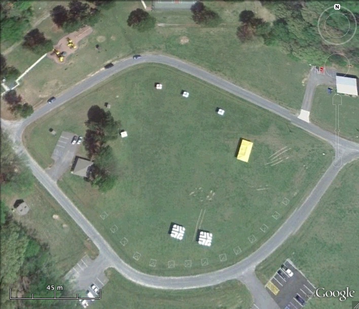
Nike N-63 Launcher
Date Activated: 1955
Date Deactivated: November 1964
State: Virginia
Nearest Town: Nansemond/Suffolk
Defense Area: Norfolk
Coordinates:
Latitude: 36°51'2.30"N
Longitude: 76°28'53.86"W
Decimal:
Latitude: 36.850639
Longitude: -76.481628
GPS:
Latitude: 36 51.0383333333333
Longitude: -76 28.8976666666667
Read more about the Norfolk Defense Area here.