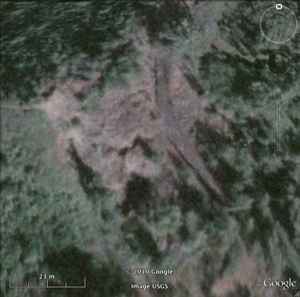
Nike Missile OA-17 IFC Site Oahu Defense Area HI
Nike OA-17 IFC
Date Activated: January 1961
Date Deactivated: March 1970
State: Hawaii
Nearest Town: Kauka/Kahuku
Defense Area: Oahu
Coordinates:
Latitude: 21°40'1.43"N
Longitude: 157°59'59.17"W
Decimal:
Latitude: 21.667064
Longitude: -157.999769
GPS:
Latitude: 21 40.0238333333333
Longitude: -157 59.9861666666667
This Nike-Hercules defense area was manned solely by Army National Guard Personnel. Early plans called for six individual batteries, this was changed to six batteries at four locations ringing the island. Command of the defense area came under US Army, Pacific (USARPAC). Units and installations defended included Pearl Harbor Naval Base, Naval Submarine Base and Naval Shipyard, Marine Corps Air Station Kaneohe Bay, Naval Air Station Barbers Point, Wheeler AFB, and Hickam AFB.
The AADCP was located at Wahiawa, the early warning radar site was Mount Kaala AFS and was operated jointly by Pacific Air Forces, the FAA, and Hawiian Air National Guard. Nike operation in Hawaii ended in 1970.
List of all Nike site Coordinates