×
![]()
Atlas F 577-10 Missile Silo Altus AFB Oklahoma
Atlas F 577-10
Squadron: 577th SMS
Date Activated: June 1st 1961
Date Deactivated: March 25th 1965
Air Force Base: Altus
State: Oklahoma
Nearest Town: Russell
Coordinates:
Latitude: 34°49'4.59"N
Longitude: 99°35'25.99"W
Decimal:
Latitude: 34.817942
Longitude: -99.590553
GPS:
Latitude: 34 49.0765
Longitude: -99 35.4331666666667
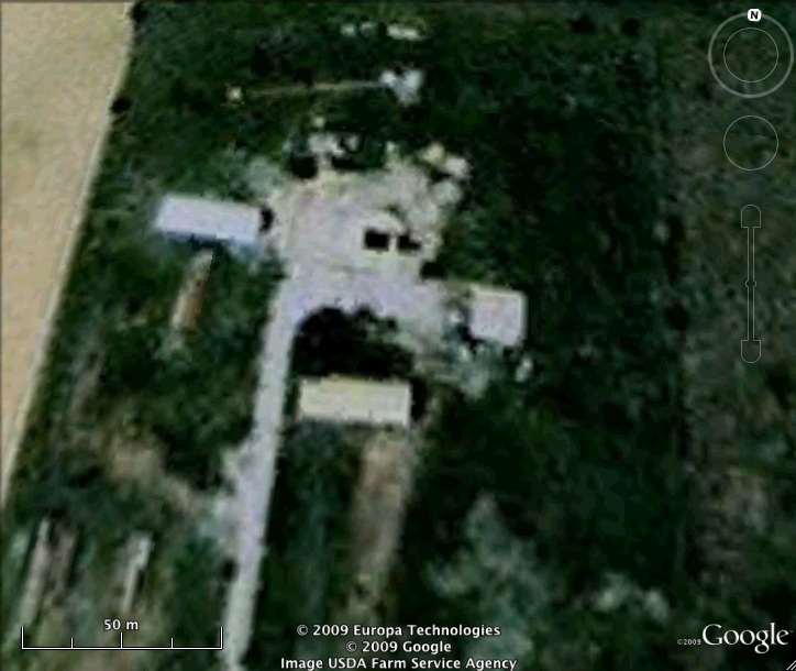
Former Atlas F Launcher with the 577th Strategic Missile Squadron.
Read about the Atlas at Altus AFB
List of all Atlas F site Coordinates