×
![]()
Atlas F 578-12 Missile Silo Dyess AFB Texas
Atlas F 578-12
Squadron: 578th SMS
Date Activated: July 1st 1961
Date Deactivated: March 25th 1965
Air Force Base: Dyess
State: Texas
Nearest Town: Corinth
Coordinates:
Latitude: 32°51'36.15"N
Longitude: 99°53'29.27"W
Decimal:
Latitude: 32.860042
Longitude: -99.891464
GPS:
Latitude: 32 51.6025
Longitude: -99 53.4878333333333
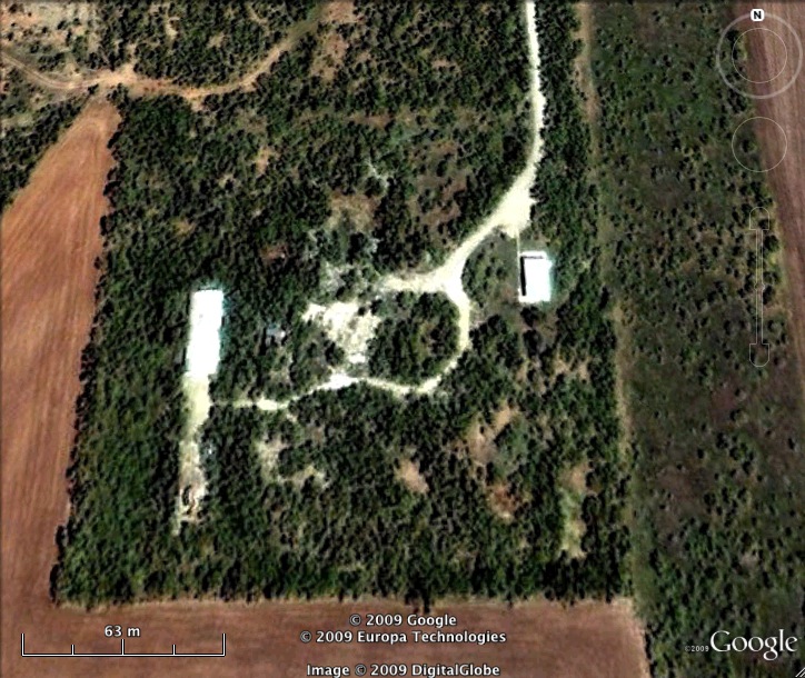
Former Atlas F Launcher with the 578th Strategic Missile Squadron.
Read about the Atlas at Dyess AFB
List of all Atlas F site Coordinates